 Available for Import
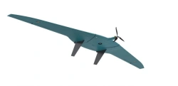
Geoscan 201 Aerial Photography Complex for Professional Surveying
Bulk pricing available
FOB, CIF & EXW terms available
Description
"Geoscan 201" is an aerial survey system that includes an unmanned aerial vehicle (UAV) of the "flying wing" type, a launcher and flight mission planning software.
Purpose The unmanned complex is designed for automatic aerial survey with extended flight duration up to 3 hours. Due to this Geoscan 201 allows to survey a large territory in 1 flight and provide a larger range of coverage, additionally reducing logistics costs. The complex is equipped with automatic control system (autopilot), inertial navigation system, GPS/GLONASS signal receiver, payload management controller, digital communication channel for transmission of command and telemetry information and high-precision geodetic receiver.
Field of application The materials obtained using the complex can be used for: <ul> <li>- creation of orthophotomaps in the range of scales 1:500 - 1:2000;</li> <li>three-dimensional modelling of a site locally.</li> </ul>
Specifications
Note: All specifications are provided by the manufacturer and may be subject to change. Please contact us to confirm the latest specifications before placing your order.
Share your requirements for a quick response!
Delivery & Payment
Shipping Terms
Delivery Time
Payment Methods
Similar Products You May Be Interested In
Albatross M5 Drone Complex for Aerial Photography and Monitoring
View Details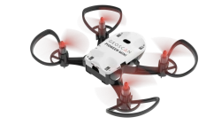
Multi-Functional Educational Drone - Pioneer Mini
View Details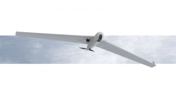
Long-Range UAV System ZALA 421-16T
View Details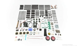
Educational TRIK Geoscan Robotics Kit
View Details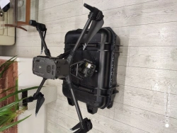
Multi-functional Helicopter-type Unmanned Aerial System JRG.A.461417.099
View Details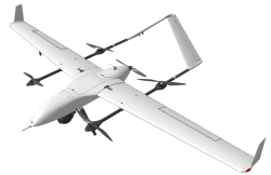
MiniSIGMA Unmanned Aerial System
View Details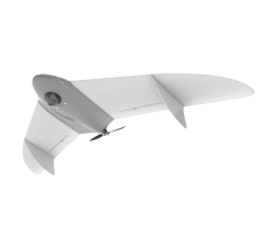
Gryphon-12 Unmanned Aerial System (UAS)
View Details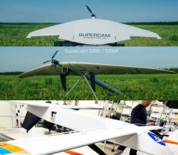
Advanced Unmanned Aerial System for Remote Surveillance (UAS STKT)
View Details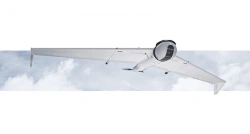
ZALA 421-16TM Drone Aviation Complex for Aerial Surveying
View Details
TRIK Geoscan Starter Kit for Mobile Robots
View Details
Phoenix-3 Unmanned Aerial Vehicle Complex
View Details
Sigma Unmanned Aerial System (UAS)
View DetailsVerified Suppliers
All products are sourced directly from authorized Russian manufacturers
Quality Assurance
Products meet international quality standards with proper certification
Global Shipping
Reliable logistics solutions to deliver products to your location
Secure Payments
Multiple secure payment options to facilitate international transactions