 Available for Import
GeoScan Lite Aerial Photography Drone System for Automatic Data Collection
Manufacturer:PLAZ LLC
Price:Request Quote
Bulk pricing available
FOB, CIF & EXW terms available
Description
The unmanned complex is designed for automatic aerial survey and automatic processing of aerial survey data using photogrammetric software Agisoft Metashape Pro. The aerial survey data and georeferencing data (flight telemetry, ground control points) are used to create a textured 3D terrain model, elevation matrix and orthophotomap at various scales, including 1:2000 and 1:500 (the technology is certified). The obtained data can be used for further processing in other software.
Specifications
Series
geoscan 101
Maximum flight duration
80
Maximum shooting area
9
Maximum route length
100
Maximum flight altitude
4000 m
Maximum allowable wind speed
B1/B8 2100/900 MHz
Operating temperature
-20 to +40 °C (expandable to -40 °C)
Maximum takeoff weight
3.1 kg
Wingspan
1.38 m
Engine type
electric
Type of takeoff
catapult
Landing type
Parachute
Model
Light
Note: All specifications are provided by the manufacturer and may be subject to change. Please contact us to confirm the latest specifications before placing your order.
Share your requirements for a quick response!
Instant response in 15 minutes
Best wholesale prices guaranteed
Direct from manufacturer
Delivery & Payment
Shipping Terms
Delivery Time
Sea freight: 30-60 days (depending on destination) Air freight: 14-21 days (for urgent orders)
Payment Methods
Similar Products You May Be Interested In
Reconnaissance and Strike Drone RTD-1
View Details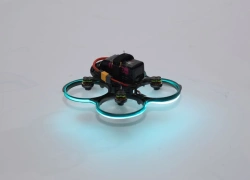
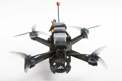
Sports Quadrocopter Builder Kit "Vzhukh FPV
View Details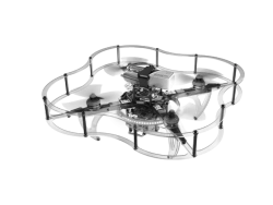
Programmable Drone Constructor "Gaskar Clever 4 Code
View Details
Programmable Educational Multirotor Drone Kit Rubin U01
View Details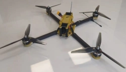
Multirotor Drone with Autonomous Flight System for Payloads up to 4kg
View Details
Multifunctional Modular UAV ARA PRO
View Details
Geoscan Gemini M Drone - Multispectral Aerial System
View Details
Kamikaze Drone RTD-K10 - Compact and Highly Maneuverable
View Details
OMEGA Unmanned Aerial System - Multirotor Drone
View Details
Multirotor Drone System for Aerial Surveillance Up to 3kg Max Payload
View Details
Multi-Rotor Aviation System Drone - VZhIK-1
View Details
Geoscan Pioneer Max Drone Assembly Kit
View DetailsVerified Suppliers
All products are sourced directly from authorized Russian manufacturers
Quality Assurance
Products meet international quality standards with proper certification
Global Shipping
Reliable logistics solutions to deliver products to your location
Secure Payments
Multiple secure payment options to facilitate international transactions